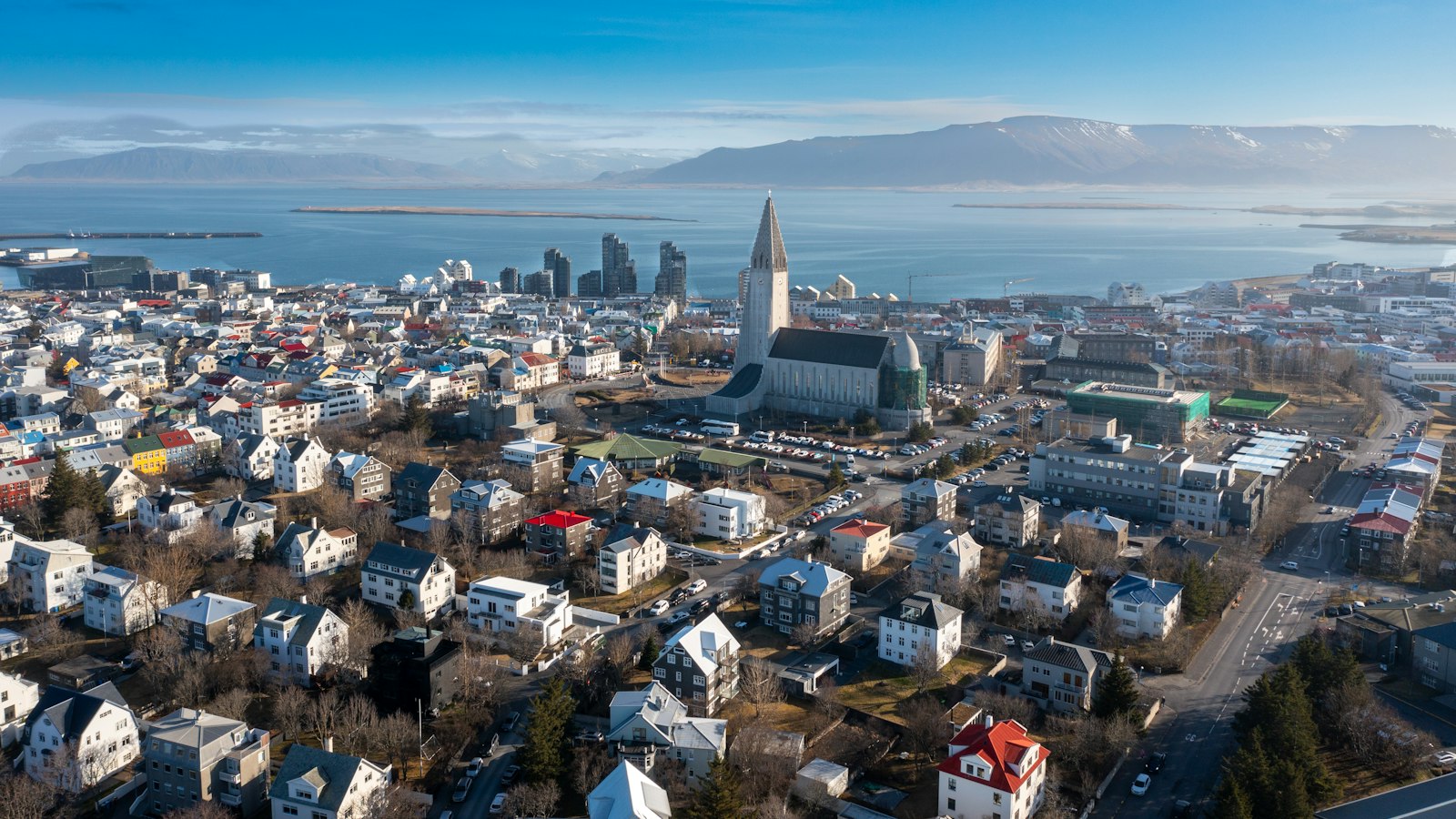
Iceland is divided into eight distinct areas, known as regions, a structure embedded in daily administration and local identity. Unlike many countries, these areas are not formal levels of government but are important frameworks for organizing the country’s municipalities, which themselves form the foundation of local governance.
Modern regions with deep roots
Each region brings together municipalities, local government units that collectively shape Iceland’s only intermediate administrative level. This eight-region arrangement stems from changes made to parliamentary constituencies between 1959 and 2003. Before the late 1950s, administrative boundaries followed older lines based on counties and trading towns. The decision to group these into larger areas reflected new political and practical needs, gradually shaping the map used today.
In the capital area, for instance, changes led to a division between the City of Reykjavík and the surrounding Southern Peninsula. The region known as the Southern Peninsula covers other municipalities nearby, indicating how urban and suburban populations have been balanced by regional definitions.
Adjustments have continued in the modern era. The municipality of Hornafjörður moved from the east to the southern group in 2008, with official statistics adapting to this change in 2020. Mergers across regional boundaries have also occurred, such as the joining of Siglufjörður with Ólafsfjörður to form the town of Fjallabyggð. Other areas, like Skeggjastaðahreppur and Bæjarhreppur, were reassigned based on municipal consolidations involving neighbours across previous borders.
Practical uses beyond politics
Though these regions are not layers of government on their own, their influence is widespread. Municipal councils have organized themselves into regional associations based on the eight-region model, underpinning cooperation on local issues and enabling Statistics Iceland to collect and present data in consistent groupings. Policing and local government commissioners’ offices (known as “sýslumaður”) have also moved to align with these regions, with the exception of Vestmannaeyjar, an island district now treated separately rather than as part of the Southern Region.
Other administrative systems draw on this regional backbone, sometimes with their own adaptations. For example, national postal codes largely correspond to the regional map, as the starting digit of the three-digit codes often identifies the area. However, for health and court services, zones may not match these familiar boundaries, showing how the concept of regions can be tailored to suit varied functions.
The Icelandic model highlights the flexibility of regional planning in a small country with strong local communities. While regions have evolved from political necessities and shifting town boundaries, they remain at the heart of everyday organisation in Iceland, shaping everything from address systems to how municipal alliances are structured.
Sources
- Wikipedia
- Wikipedia (Icelandic) in Icelandic


