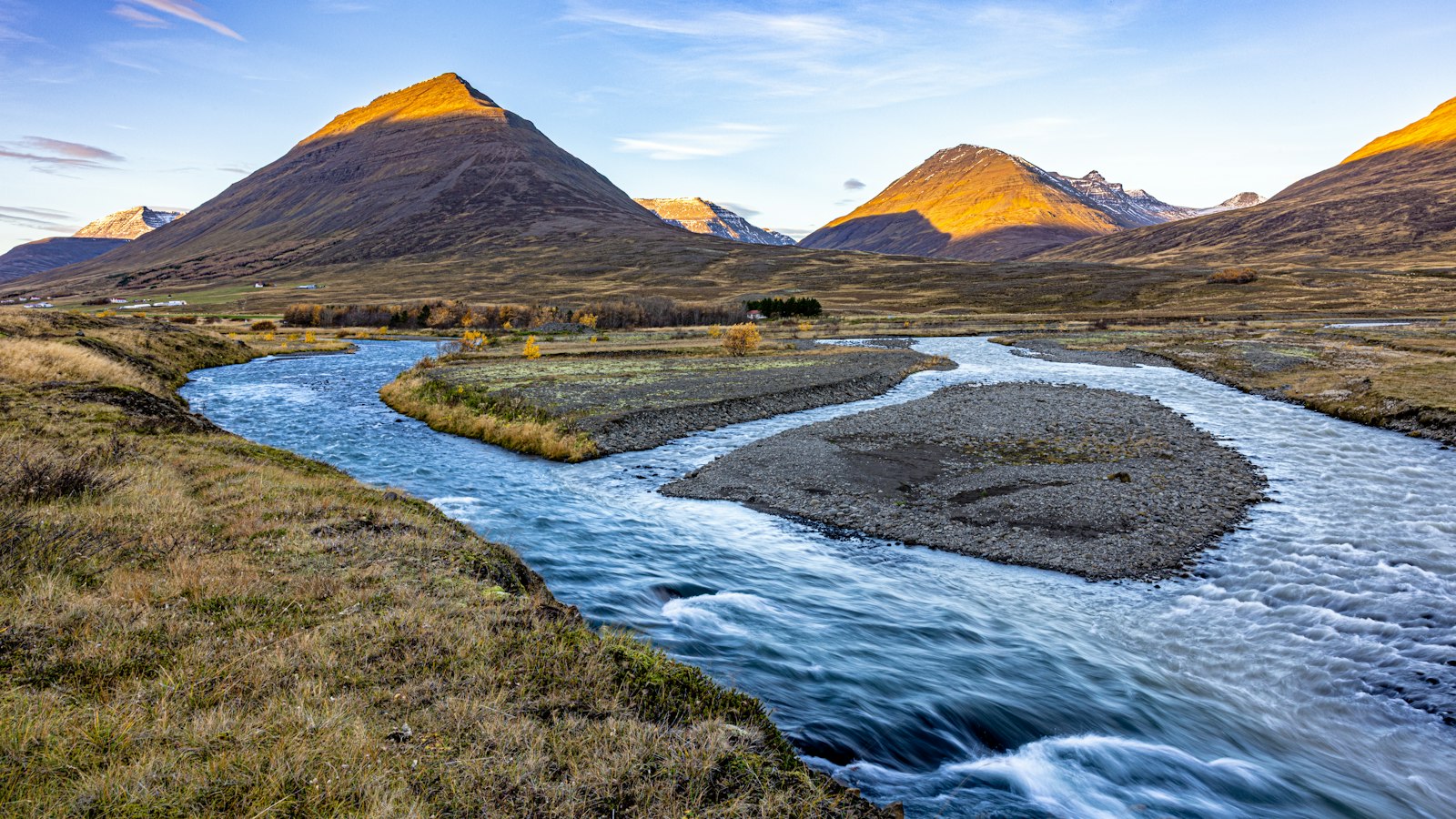
Jökulsá á Fjöllum, which means “glacial river in the mountains” in Icelandic, is a formidable presence in the country’s northeast. Beginning its journey from the mighty Vatnajökull glacier, it stretches 206 kilometres from its source to the Greenland Sea. Along its route, the river tells a story of natural forces at work over thousands of years.
A journey through waterfalls and canyons
The river’s path is marked by a dramatic sequence of waterfalls, including Selfoss, Hafragilsfoss, Réttarfoss and, most notably, Dettifoss. Dettifoss is recognised as the most powerful waterfall in Europe, where the thundering water plunges into the Jökulsárgljúfur canyon. This area, once believed to be shaped gradually by regular erosive forces, now reveals evidence of abrupt, catastrophic events.
Jökulsárgljúfur canyon and the nearby horseshoe-shaped Ásbyrgi gorge have both been sculpted not over quiet millennia, but through episodes of jökulhlaup, sudden glacial floods caused by volcanic eruptions beneath the ice. Such floods have left their mark here in the late Holocene era. Scientific studies suggest three especially massive events, occurring roughly two, five and nine thousand years ago, tore through the landscape, leaving periods of calm in between.
Glacial and volcanic forces intertwined
Jökulsá á Fjöllum’s drainage basin is the largest in Iceland, spanning 7,380 square kilometres. Its waters gather from Dyngjujökull and Brúarjökull, the two prominent outlets of Vatnajökull, and are joined by tributaries such as Kreppa and Kverká before they shape the region’s plains and sand fields. The sands deposited by the river have formed the flatlands of Oxarfjörður and Kelduhverfi.
Volcanic activity beneath Vatnajökull has played an outsized role in the river’s story. Eruptions, possibly from the Bárðarbunga volcano, are believed to have triggered ancient floods along Jökulsá á Fjöllum. At their peak, these events unleashed discharges of up to 900,000 cubic metres per second, dwarfing even the average flow of the Amazon River.
Protected wild river
Unlike many European rivers, Jökulsá á Fjöllum remains undammed. In 2019, it was granted legal protection from energy development, securing its future as an untamed force in Iceland’s landscape. Flowing through the Vatnajökull National Park, one of the country’s three national parks, the river and its canyons offer a window into the forces that continue to shape Iceland’s geography.
Sources
- Wikipedia
- Wikipedia (Icelandic) in Icelandic


