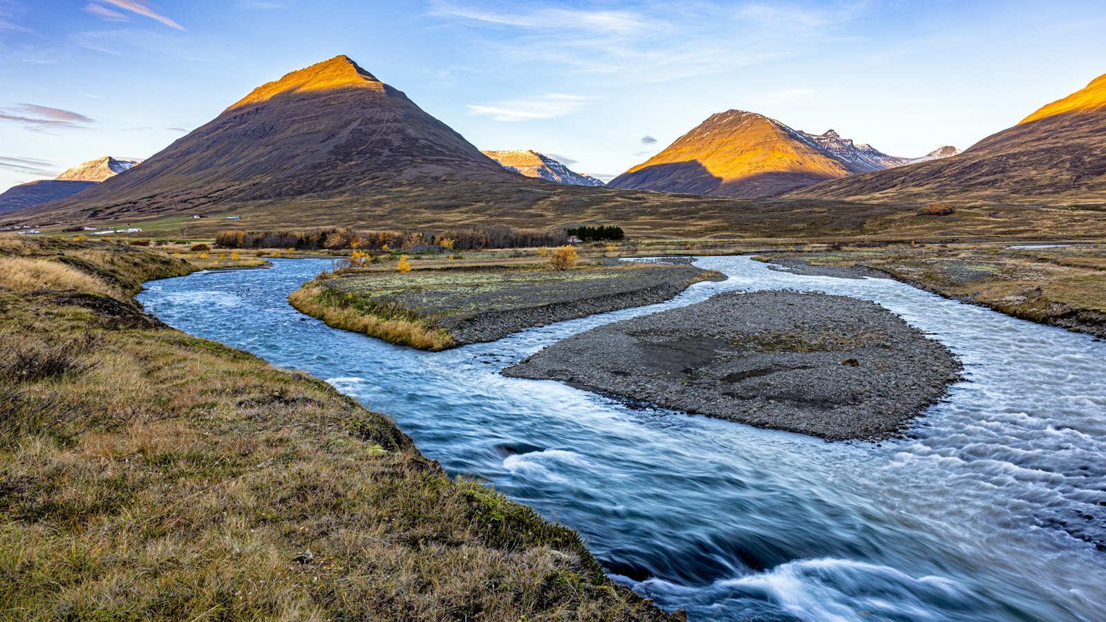
In the heart of Skagafjörður’s wild interior in northern Iceland, the valley of Austurdalur, whose name means “east valley”, offers a vivid demonstration of how rivers and cliffs define both human life and natural growth. Far from Iceland’s coast and urban bustle, this narrow valley is shaped by the constant presence of the Austari-Jökulsá, a glacial river weaving through sandbanks and gorges before merging with its sister stream to form the Héraðsvötn river.
Gorges, rivers and natural barriers
Austurdalur’s landscape is dominated by the Austari-Jökulsá, which meanders slightly west of the valley’s centre. Inside the valley it braids around small islands of sand, but everything changes near Skatastaðir. Here, the river plunges into a sharply cut gorge, creating a formidable natural passage that the water races through before uniting with the Vestari-Jökulsá. Birch scrub fills the steep ravine, and elsewhere in the valley, grassy slopes and the forests of Fagrahlíð reach heights of up to six metres with native birch and willow.
Several tributaries join the Austari-Jökulsá from Nýjabæjarfjall mountain, which separates Austurdalur from the interior valleys of Eyjafjörður. Among these tributaries are Ábæjará, Tinná, Hvíta and Fossá, each contributing to the turbulent flow that has made parts of the river a site for white-water rafting.
A single home, a story-filled church, and the challenge of travel
Austurdalur is remarkably empty of human habitation. Today, only one residence remains, at Bústaðir. There is a church at Ábær, reflecting past times when several farms lined both sides of the valley. On the east, names like Merkigil, Ábær, Nýibær, Tinnársel and Hildarsel recall earlier decades. On the west, Bústaðir and Skatastaðir straddle the gorge, linked by a bridge known locally as Monikubrú (“Monika’s bridge”), named for the influential Monika of Merkigil.
Northwards, travel was long hampered by the enormous Merkigil gorge. For those heading to market in the town centre of Skagafjörður, only a narrow footpath edged the cliff. This route was so dangerous that transporting goods, especially wool, by traditional caravan was impossible. Instead, trade followed the cargo paths over Nýjabæjarfjall into Eyjafjörður and down into Leyningsdalur, with wool destined for sale in Akureyri. Famously, when the farm buildings of Merkigil were raised, all construction materials were carried by horse, sometimes by as many as seven daughters, across the gorge.
Human history here is marked by hardship and resilience. The last farmer of Merkigil, Helgi Jónsson, died in 1997 after falling into the gorge on his way to meet a neighbour. The valley was also briefly home to national poet Bólu-Hjálmar, who established a farm called Nýibær.
Plant life reflects a mixture of harshness and life: angelica and dwarf fireweed thrive by the ravine and on river sandbanks, while birch and willow grow tall in Fagrahlíð. Austurdalur remains a landscape where geology sharply limits human settlement, but supports a quiet diversity of local flora.
Sources
- Wikipedia
- Wikipedia (Icelandic) in Icelandic


