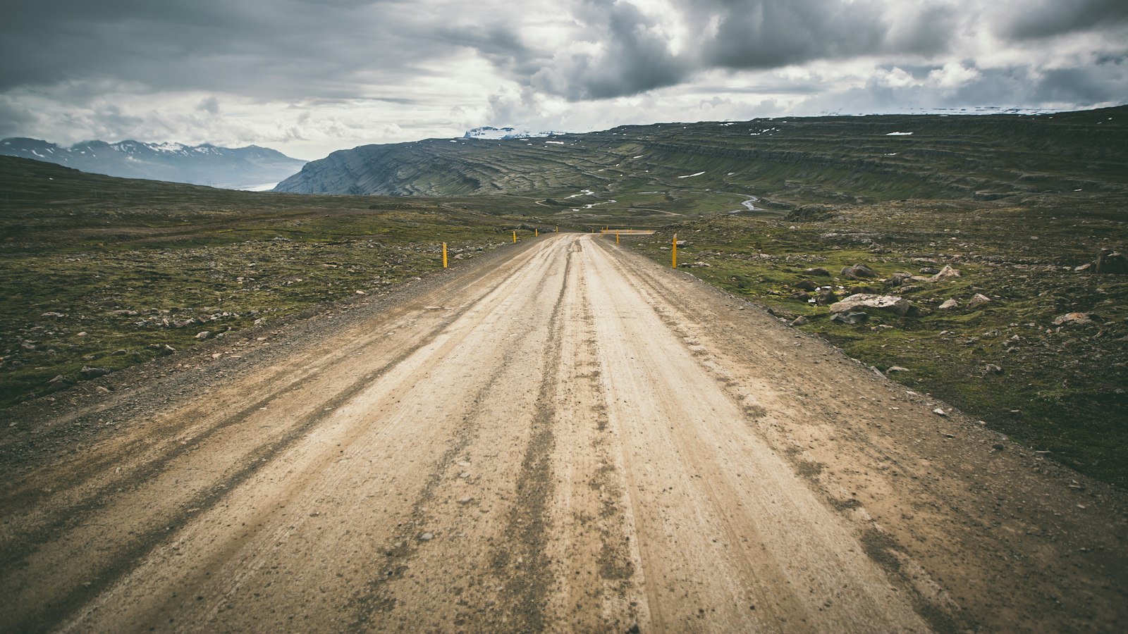
Rising to heights of 600 to 700 metres above sea level, the Kjölur plateau stretches across central Iceland’s interior. Sandwiched between two major glaciers, Langjökull to the west and Hofsjökull to the east, this broad tract forms a remote corridor between the southern and northwestern parts of the country.
Geothermal oases and volcanic ridges
At Kjölur’s northern edge, the presence of the Blanda river’s origins marks a shift from barren highlands to a unique gathering place: Hveravellir. These geothermal springs provide a rare spot of warmth on the otherwise windswept plateau. The site is famed not only for its steaming pools but also for its use as a hideout by the 18th-century outlaw Fjalla-Eyvindur, who lived here for a time. Today, one of the hot springs still welcomes bathers.
A short journey from Hveravellir lies Kerlingarfjöll, a volcanic mountain cluster northeast of the main highland track. Known for its multi-coloured rhyolite hills and geothermal activity, Kerlingarfjöll stands as a stark contrast to the desolate sand and rock plains that make up much of Kjölur’s landscape.
Historic paths through a harsh land
Long before there were vehicles or marked roads, people crossed Kjölur as a summer shortcut between regions. This route, which traces the edge of Langjökull, holds a place in the Icelandic sagas, the historical and literary accounts of the nation’s early centuries. The track, called Kjalvegur hinn forni (the Old Kjalvegur), still exists today, its route marked by simple stone cairns set by decades of travellers through the vast highland desert.
In the late 1700s, tragedy struck when a snowstorm claimed the lives of several people travelling on this route. As a result, the road fell into disuse and faded from memory for nearly a century, only coming back into regular use in the 19th century. Nonetheless, the enduring appeal of the route sees it traversed by trekkers and riders each year.
Modern travellers typically cross the area on Kjalvegur (F35), an unpaved road cutting through Kjölur’s heart. The route connects the south and northwest regions, with side tracks branching off towards destinations like Hveravellir and Kerlingarfjöll. However, only a few tracks are suitable for vehicles; others remain the domain of those on foot, echoing the quiet pace of centuries past.


