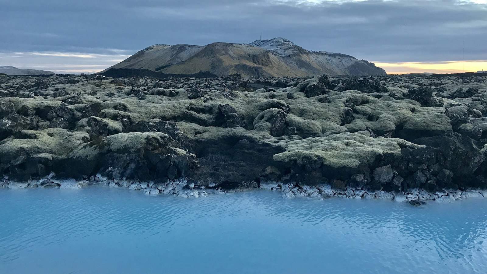
On the Reykjanes Peninsula in southwest Iceland lies Sundhnúkur, a volcanic hill whose recent activity has placed it at the heart of Iceland’s ongoing geological story. Sitting within a distinctive row of volcanic craters and fissures, Sundhnúkur occupies a dynamic region formed by powerful forces deep beneath the island’s surface.
A landscape shaped by rifts and lava
The Sundhnúkur area is an integral part of the Svartsengi volcanic system, itself a segment of the Reykjanes Peninsula’s rift zone. This system is defined by rows of craters, Sundhnúksgígarðöðin, and fissures stretching roughly 8.3 kilometres at an angle of 35 degrees northeast from the fishing town of Grindavík. These fissures pass between older volcanic features: Hagafell to the east and Svartsengisfell to the west.
The geology here is varied and typical of Icelandic volcanic terrain. The area has basalt lava shields, large ones are tholeiitic in mineral composition, while smaller shields can be picritic or tholeiitic. The visible hills are hyaloclastite formations, flat-topped, steep-sided table mountains, and pillow lava mounds formed underwater or beneath thick glacial ice.
Eruptions redraw the landscape
Although previous volcanic events shaped the land thousands of years ago, Sundhnúkur moved into international headlines when a major eruption began on 18 December 2023. A fissure about 3.5 kilometres long opened north of Grindavík, with lava fountains visible up to 42 kilometres away in Reykjavík. The eruption sent lava flowing from both sides of the fissure at rates reaching 200 cubic metres per second, and the scents of ash and smoke were noticed up to 30 kilometres away.
This marked the largest volcanic incident in the area since 2021, and it was only the beginning. The following years, 2024 and 2025, saw a series of eruptions, each contributing new layers of basaltic ʻAʻā lava, rough, clinkery flows that redefined the local topography. Notably, the eruption on 16 March 2024 lasted for an unusually long period before concentrating at a single crater. On several occasions, the eruptions damaged infrastructure and led to concerns for nearby towns such as Grindavík.
One key geological process here is land uplift, a gradual inflation of the ground as magma gathers underground. Between the major outbreaks, land uplift resumed, suggesting more molten rock collecting beneath the surface. Each eruption differed: for example, the fifth, beginning in late May 2024, released more volcanic ash than the others, primarily because groundwater came into contact with the hot lava. The largest in the sequence arrived in late August 2024, spilling over old military munitions sites and covering broad areas with fresh lava. Smaller yet significant eruptions continued into mid-2025.
Through these eruptions, Sundhnúkur and its crater row became a living demonstration of Iceland’s reputation as a land forged and continually reworked by fire and ice. The evolving landscape provides a rare window into active rift zone volcanism, where continents pull apart and the earth is forced to the surface in spectacular displays.
Sources
- Wikipedia
- Wikipedia (Icelandic) in Icelandic


