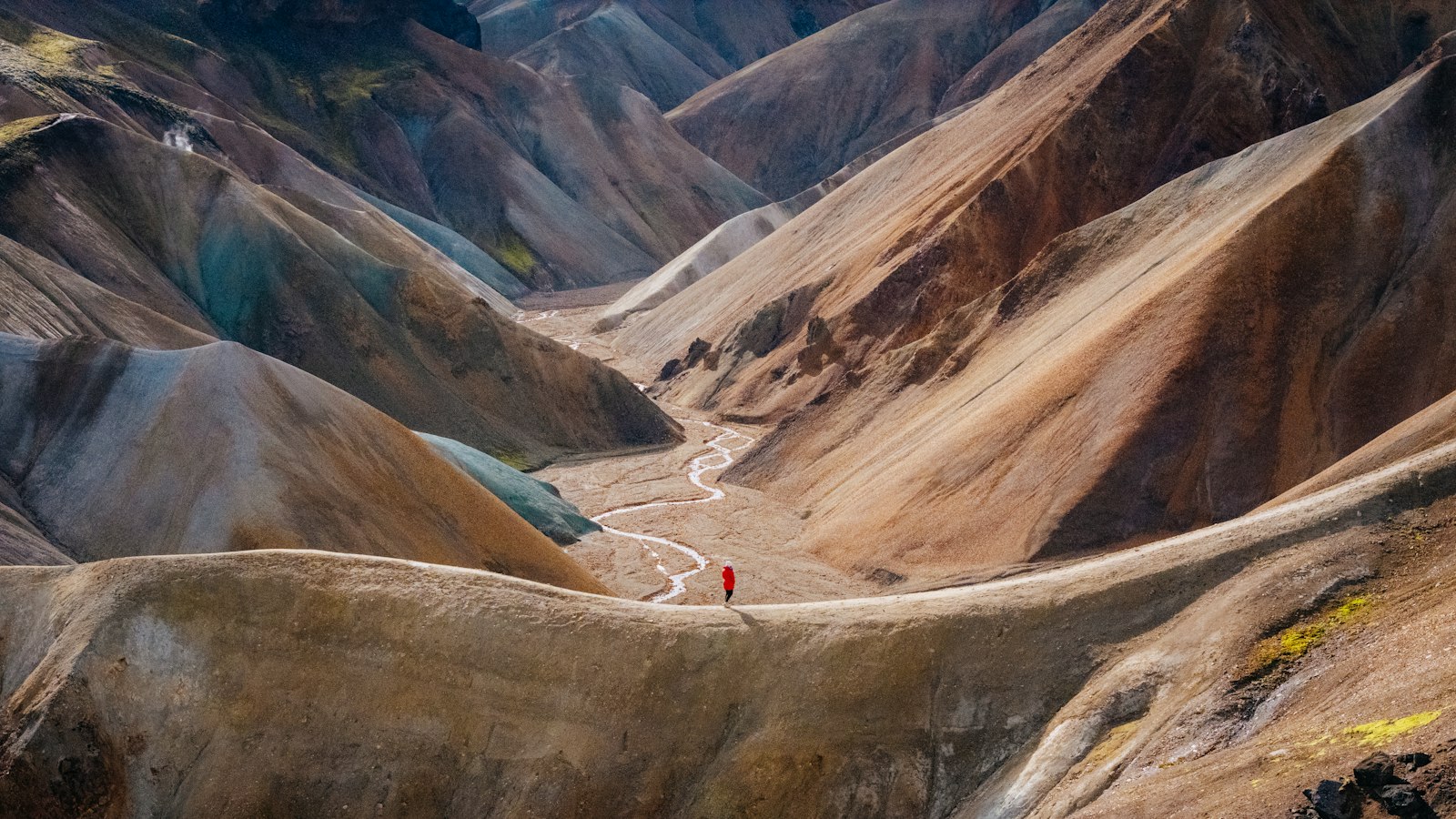
Deep in the central highlands of Iceland lies Torfajökull, a volcanic system capped by a glacier sharing its name. While this landscape is shaped by fire beneath and ice above, Torfajökull is also entwined with stories that stretch from geological upheaval to local folklore.
A centre of Icelandic volcanic history
Torfajökull has, over hundreds of thousands of years, generated some of the most significant rhyolitic (silicic) lava deposits in the country. Formed at least 384,000 years ago, the volcano sits at a junction between the Mid-Atlantic Ridge rift zone and the South Iceland seismic zone, making it a key site for studying both tectonics and volcanism. The caldera itself rises roughly 600 metres above neighbouring basalt plains and stretches 18 by 12 kilometres: it is Iceland’s largest area of exposed silicic extrusive rocks.
The volcanic history here is complex and dramatic. Around 55,000 years ago, a major eruption (VEI 5) scattered thick layers of tephra across the North Atlantic and Greenland. In more recent times, Torfajökull played a role in the “Settlement Layer” eruption, a bimodal event (mixing rhyolite and basalt) that occurred around 870. This left a distinctive ash band used by archaeologists for dating early Icelandic sites. Another notable eruption took place in 1477, with lava flows and ash that spread north from the caldera along a fissure stretching at least 40 kilometres.
The glacier and geothermal landscape
Torfajökull’s glacier, perched atop the volcano’s highest peak (1,199 metres), has long been a prominent feature. Yet recent decades have seen its persistent retreat. In 1945, the glacier spanned 16 square kilometres, but by 2019 only 8.1 square kilometres remained, a reduction of 64 percent. A nearby glacier, Kaldaklofsjökull, has also diminished severely. The combination of volcanic heat and changing climate may hasten further loss, and Torfajökull is viewed as a candidate for becoming Iceland’s next glacier to disappear.
Torfajökull is also the site of one of the country’s largest geothermal areas, covering 150 square kilometres. Temperature readings exceed 340 °C in its hottest zones, supporting ongoing seismic activity. Earthquakes here fall into distinct types: low-frequency tremors near high-temperature areas, and high-frequency quakes (up to magnitude 3) associated with the brittle caldera crust. Recent studies show the volcano’s western caldera is deflating and reveal a magma chamber 8 kilometres underground.
Peppered around the area are more recent lava flows, domes, and maars (explosion craters), each tied to different chapters in Torfajökull’s eruptive story. These features chart a dialogue between magma from Torfajökull itself and intrusions from the neighbouring Bárðarbunga-Veiðivötn volcanic system.
The site’s name, Torfajökull, is rooted in legend. One story tells of Torfi Jónsson í Klofa, an Icelander who, during the plague of 1493, fled with his family to this harsh but secluded region. Another tale speaks of a farm worker called Torfi who eloped with his beloved into the snowy wilderness, leaving the glacier forever entwined with romance and refuge.
Sources
- Wikipedia
- Wikipedia (Icelandic) in Icelandic


