A deep low-pressure system is forecast to approach southwest Iceland near the Reykjanes peninsula in about one week, according to models reviewed and reported by Vísir today. Forecast charts from both the European Centre for Medium-Range Weather Forecasts (ECMWF) and AIFS show a low with a central pressure of around 942 hPa positioned southwest of Reykjanes.
Einar comparing current forecast charts with earlier patterns said that both models indicate a 942 hPa deep low forming near the region. This matches what is visible in the models seen by Vísir, though the forecasts are still subject to change as the date approaches.
The low projected for next week is notable as it follows a similar system that passed over southwest Iceland last week with a central pressure of 934 hPa, which set a new record for lowest October pressure in the area, according to Vísir.
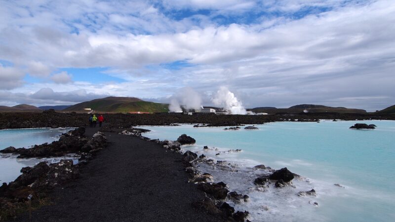
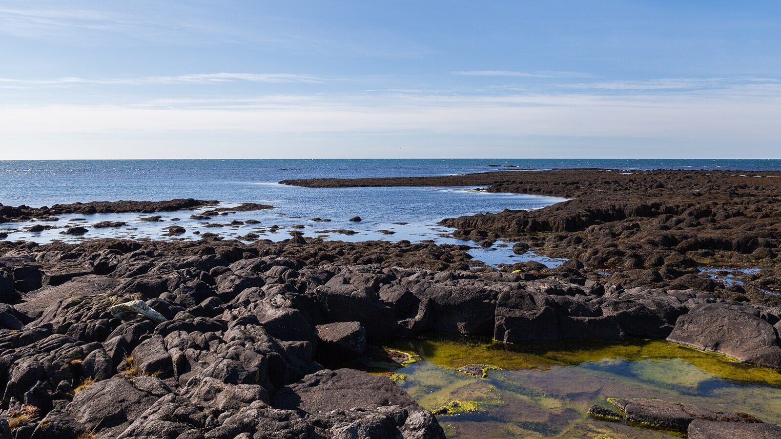
The Reykjanes peninsula, a region in southwest Iceland marked by active volcanism and large lava fields, is home to Keflavík international airport and the Blue Lagoon. Since 2021, it has experienced repeated volcanic eruptions, adding complexity to the weather and environmental situation in the region.
Sources
- Vísir (first reported) in Icelandic
Image: Diego Delso / Wikimedia Commons (CC BY-SA 4.0) · licence, original (resized) Illustrative image.