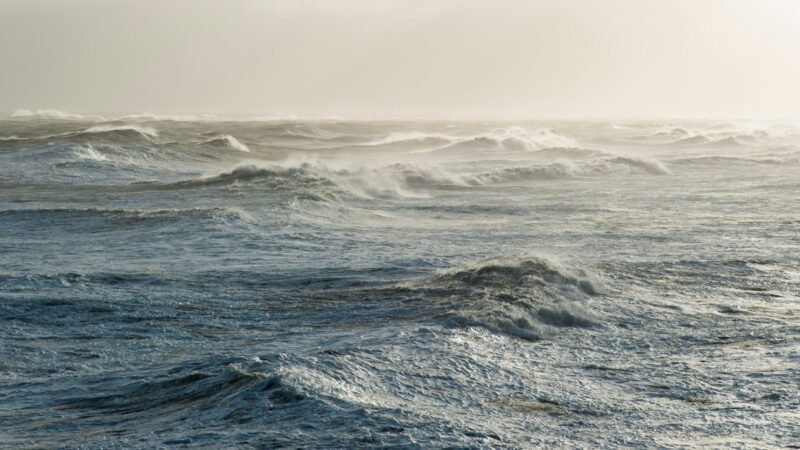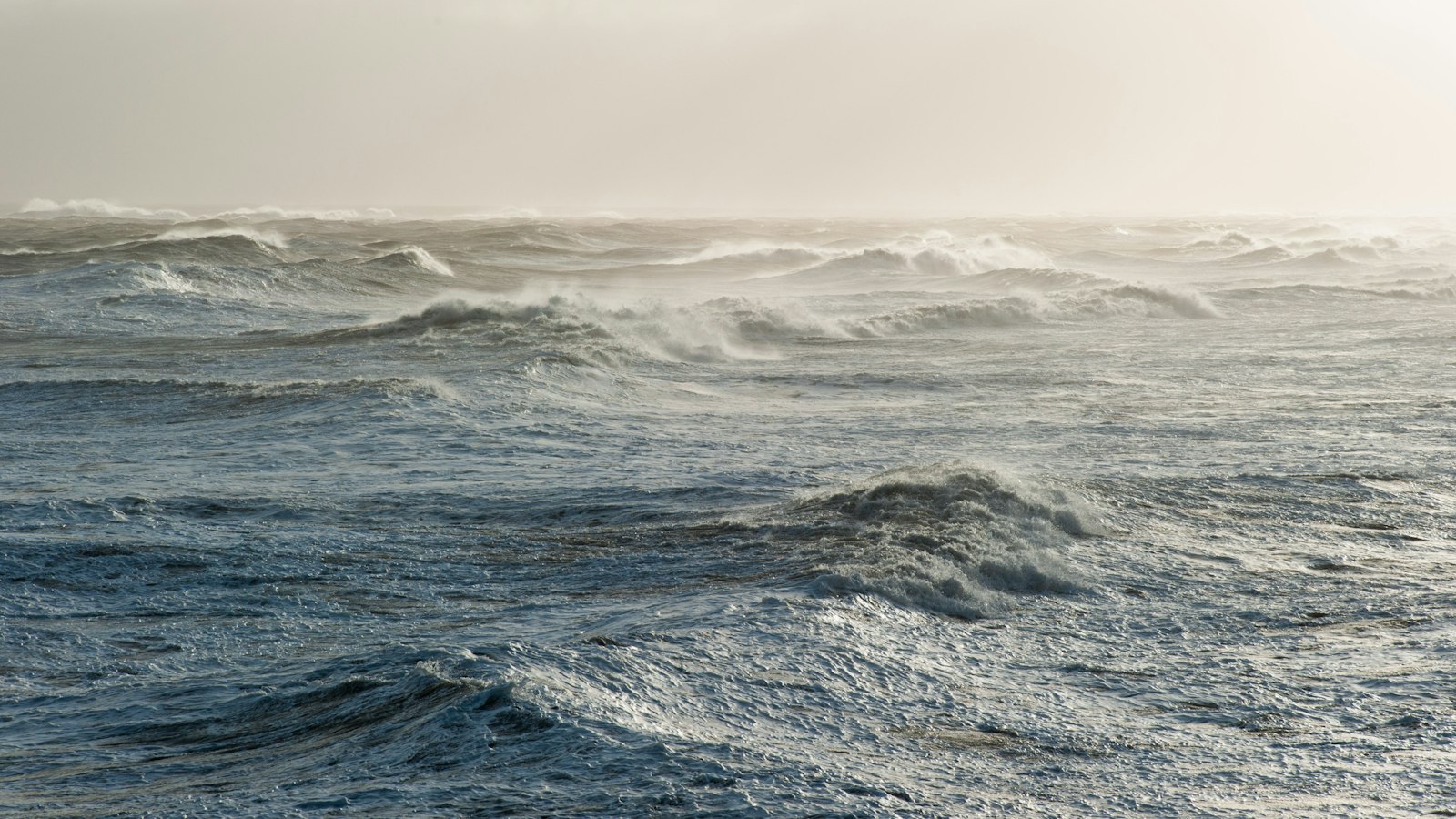
A significant winter storm was already affecting Iceland at the time of reporting, with meteorologists noting that it arrived ahead of earlier forecasts that had predicted the storm would hit the following day. The event was first reported by RÚV, drawing on warnings from Icelandic meteorologists.
Forecasters had warned of strong winds in many parts of the country and the possibility of loose objects being blown away. The Icelandic Met Office responded by issuing yellow and orange weather warnings over wide areas. The yellow, orange and red warning system is used by the Icelandic Met Office to indicate increasing levels of severity, with red being the most severe.
Atmospheric pressure dropped rapidly overnight across Iceland, in line with forecast models, and a deep, tightly packed low-pressure system was passing over the country. Hrafn Guðmundsson, a meteorologist with the Veðurstofa (Icelandic Met Office), commented that “It looks like this is all coming true,” according to Vísir. Another meteorologist from the Veðurstofa described this as the first proper winter weather of the season, advising preparations accordingly; both remarks were translated from Icelandic.
By the time of writing, weather on the South Coast had eased, but winds were still increasing in the northwest. Gales were developing in areas including Breiðafjörður, Strandir, Northwest Iceland and over Faxaflói. In the Westfjords, a remote, mountainous peninsula in north-west Iceland, Skutulsfjörður appeared somewhat sheltered by the high mountains, providing some protection from the strongest northerly winds.
Sources
- RÚV (first reported) in Icelandic
- Vísir in Icelandic
- mbl.is in Icelandic
- mbl.is in Icelandic