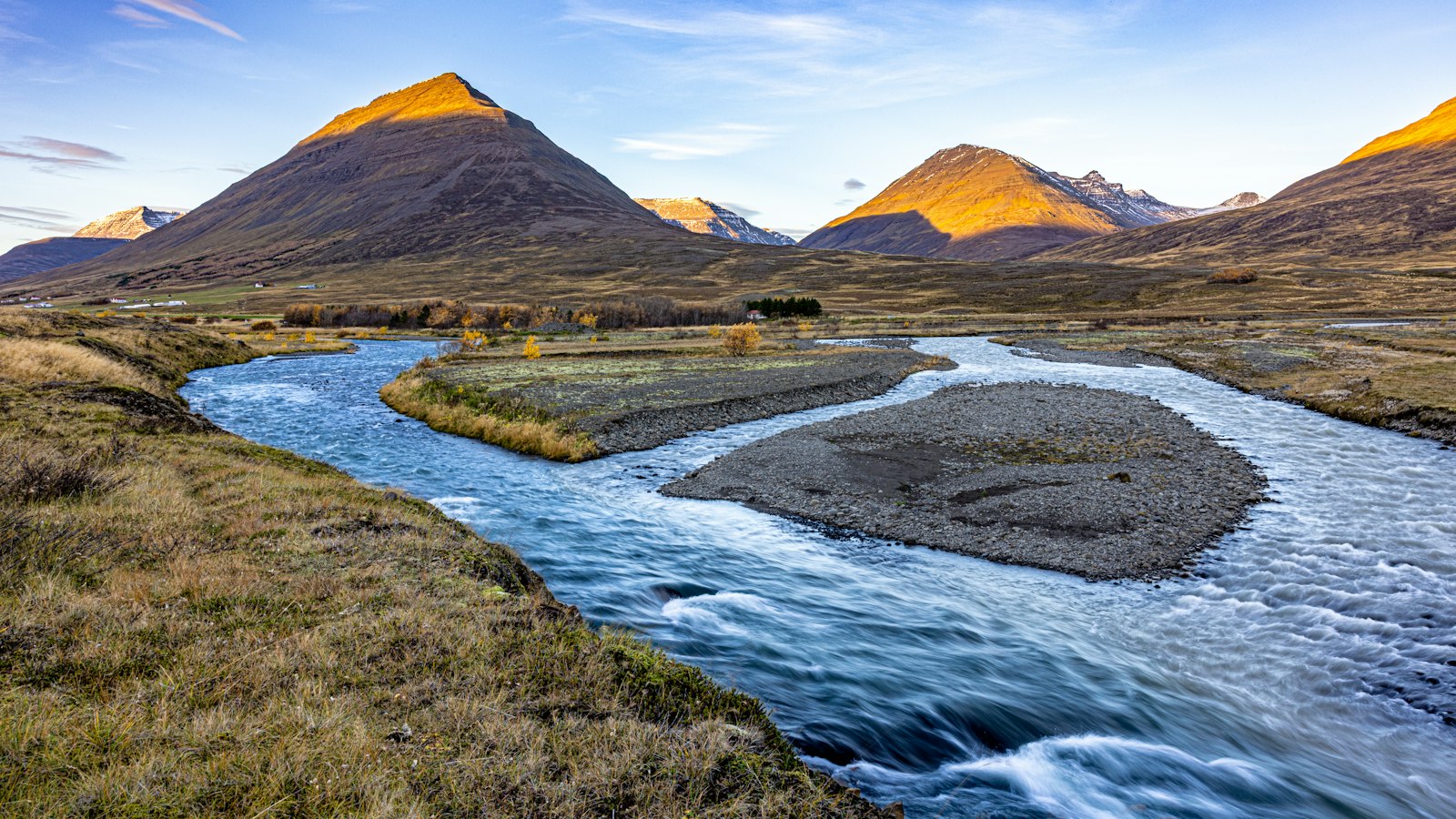
Stretching 30 kilometres through northern Iceland, Hörgárdalur stands as a testament to the varied stories and landscapes that characterise this region. The valley follows the course of the river Hörgá, flowing southwest from the inner part of Eyjafjörður. Today, Hörgárdalur is a part of the larger municipality of Hörgársveit.
At its northeastern entrance, Hörgárdalur opens wide with generous meadows and rich soils, a quality that has supported farms and settlements since early times. The eastern side of the river in this section is traditionally known as Þelamörk. As the valley continues inland, the land tightens between sheer mountain walls, with peaks on the western side reaching heights of up to 1,500 metres.
Between these mountain slopes, tributary valleys such as Barkárdalur and Myrkárdalur branch off, while the Drangafjall ridge marks the boundary with neighbouring Öxnadalur valley. Distinguishing itself in this range stands Hraundrangi, or the ‘lava column’, a pointed mount well known in the local skyline.
The main road that encircles Iceland, known as the Ring Road, passes through this valley for a stretch west of Akureyri, connecting modern travellers with a place inhabited and traversed for generations.
Layers of settlement and memory
A look at Hörgárdalur’s past reveals its significance to both Icelandic history and culture. The first recorded farm, Flögusel, sits at the southward turn of the valley. A traditional route led from this area over the uplands, the Hjaltadalsheiði, towards Hólar, once a major ecclesiastical centre.
Möðruvellir, situated at Hörgárdalur’s northeastern end, became the valley’s primary estate and a centre of influence across centuries. An Augustinian monastery established here in 1296 underscored its religious importance, while a later secondary school, begun in 1880, made Möðruvellir an early seat of formal education in Iceland. Though a fire in 1902 prompted the school’s move to Akureyri, the location retains a church built in the mid-nineteenth century and an agricultural research station. Möðruvellir was also the birthplace of figures such as Jón Sveinsson, Hannes Hafstein, and Valtýr Stefánsson, editor of Morgunblaðið.
The neighbouring farm of Grjótá was notable as the birthplace of Bishop Guðmundur Arason in 1161. Meanwhile, insights into everyday life in earlier centuries come from places like Skuggi, a Viking Age tenant farm, where archaeological work seeks to understand economic and social ties with both Möðruvellir and trading sites at Gásir.
Natural forms and an enduring name
Parts of the valley floor are marked by broad gravel flats and green lowlands, particularly on the river’s west side, where farmsteads have long clustered on the slopes and flat areas. Glaciers inhabit several upper valleys and hollows.
The valley’s name traces its origins to “hörgur,” describing a pagan altar or place of sacrifice, a reminder of earlier spiritual traditions amid a landscape shaped by volcanic forces and carved by rivers. Far from being a remote or isolated place, Hörgárdalur is layered with stories, from the roots of settlement to the currents of Icelandic history.
Sources
- Wikipedia
- Wikipedia (Icelandic) in Icelandic


