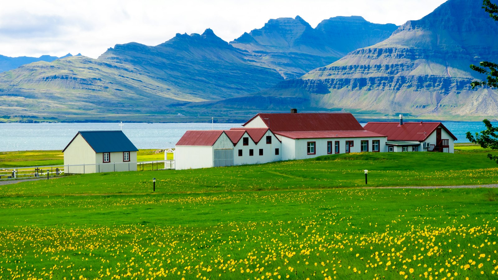
Positioned at the edge of the Austurland region, Djúpivogur sits where land meets three fjords, Berufjörður, Hamarsfjörður, and Álftafjörður, creating a shoreline defined by water’s passage and human endeavour since Iceland’s earliest days. Founded on a peninsula between Berufjörður and Hamarsfjörður, the settlement is part of a wider landscape shaped by both Norse settlement and European commerce.
Djúpivogur’s roots in trade stretch back centuries. Following early Norse arrivals and trade with people along the East Fjords, German merchants, particularly from Bremen and Hamburg, established posts here from the early sixteenth century, with activity shifting across the fjord as ports changed with the land and tides. The town’s role in commerce solidified in 1589 when it was granted trading rights by Denmark’s King Frederick II, marking the start of permanent habitation tied to international commerce. Monopoly trade laws later shaped the area, with Danish companies operating here well into the twentieth century.
Fishing defined daily life just as much as trading. People around Berufjörður fished for centuries, first with hand lines and later with sailboats and small trawlers. In the late nineteenth century, fishing with larger boats for shark and cod became a hallmark of local industry, but smaller vessels soon became prominent again. By the twentieth century, Djúpivogur was a hub for both local and visiting fishing boats, with new technology and larger ships extending the reach and pace of the local catch.
Langabúð, a timber warehouse dating in part to 1790, stands as a symbol of this trading past. The building served various commercial purposes and today houses a café, a museum on the region’s heritage, and an exhibition of the sculptor Ríkarður Jónsson, who was born in the village.
Art, climate and community today
A short walk from the town lies “Eggin í Gleðivík” (Eggs of Merry Bay), an outdoor artwork created by Sigurður Guðmundsson. Installed in 2009, the line of 34 carved eggs represents the diversity of birdlife nesting in the area, making local nature visible on the edge of the harbour.
Djúpivogur is the first Icelandic member of the Cittaslow movement, an international network of towns committed to living at a gentler, community-focused pace. This approach shapes both the atmosphere of the town and how public spaces are used, giving it a distinct character in Iceland.
The area is notable for its weather records as well. Just west of Djúpivogur at Teigarhorn, one of Iceland’s oldest weather stations began collecting data in 1874. Teigarhorn holds the highest reliably recorded temperature in Iceland’s history: 30.5 °C (87 °F) on 22 June 1939, though for most of the year, mean temperatures remain below 10 °C (50 °F), classifying the region’s climate as tundra.
Over time, Djúpivogur’s role has expanded. Once a centre for commerce and regional administration, it remains a place where the rhythms of the land and sea continue to shape community life. Despite municipal changes in recent decades, including a 2020 merger forming the larger Múlaþing region, Djúpivogur retains its distinct identity along Iceland’s east coast.
Sources
- Wikipedia
- Wikipedia (Icelandic) in Icelandic


