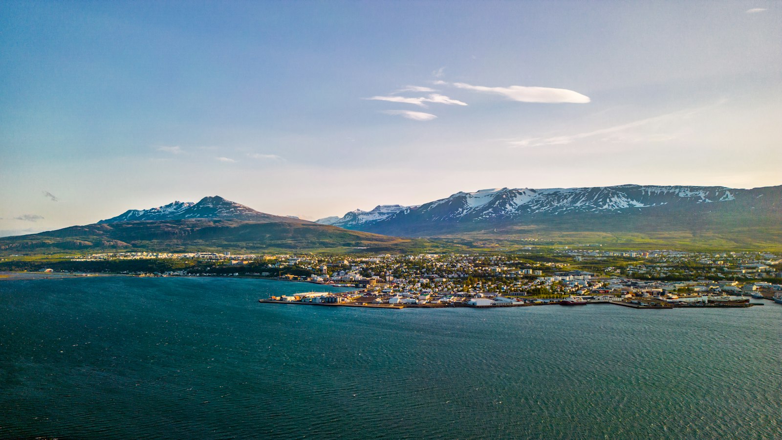
Stretching for 60 kilometres along Iceland’s central north, Eyjafjörður (pronounced “EY-ya-fyur-thur,” meaning “Island Fjord”) carves a narrow, deep path into the landscape. Its length and shape have not only defined local geography but also shaped the development of towns, agriculture and livelihoods in the region.
Geography where mountains meet water
Eyjafjörður’s coastline is flanked by steep hills and mountains, especially tall on the western side where the Tröllaskagi peninsula rises. In the outer part of the fjord, these slopes descend almost abruptly into the sea, creating a dramatic, rugged edge. Further south, lowlands open up on both coasts, especially to the west, where broader strips of fertile ground support extensive farming, a rarity on Iceland’s often volcanic or mountainous terrain.
Several valleys push their way from the fjord into the interior. The most significant, Eyjafjarðardalur, stretches some 50 kilometres inland and is one of Iceland’s largest agricultural heartlands. Other valleys such as Hörgárdalur and Svarfaðardalur to the west, and Dalsmynni to the east, channel the waterways and create pockets of arable land. A network of rivers, including Eyjafjarðará, Hörgá, and Fnjóská, drain these valleys and feed into the fjord, shaping both land and livelihoods.
Settlements and the Pearl of Eyjafjörður
Spread along the shores of the fjord are communities anchored by fisheries, agriculture and local services. Akureyri, with its status as Iceland’s fourth largest municipality, acts as a focal point. It is also northern Iceland’s service centre, with important institutions such as a hospital and university. Dalvík, the only other settlement in the area with more than 1,000 people, as well as Ólafsfjörður, Hrísey, and smaller villages like Árskógssandur and Grenivík, contribute to a combined regional population of around 25,000.
Near the centre of the fjord sits Hrísey, the second largest island off the Icelandic coast. Often called “The Pearl of Eyjafjörður,” Hrísey has long provided both a landmark and a base for fishing and community life. The island gives the fjord its name and is prominent in the region’s identity.
Hidden hydrothermal features
Beneath Eyjafjörður’s surface lie unexpected geological phenomena. In shallow waters between 20 and 65 metres deep, the Strýtan hydrothermal vent field rises in cones that reach up to 20 metres below the sea’s surface. Unseen from above, these formations remained unrecognized until 1997, when divers and researchers confirmed their existence. The site became a protected preserve in 2001, highlighting the region’s unique underwater activity.
Eyjafjörður’s diverse mix of land, sea and community continues to be shaped by its geological setting and deep-rooted relationship with its environment.
Sources
- Wikipedia
- Wikipedia (Icelandic) in Icelandic


