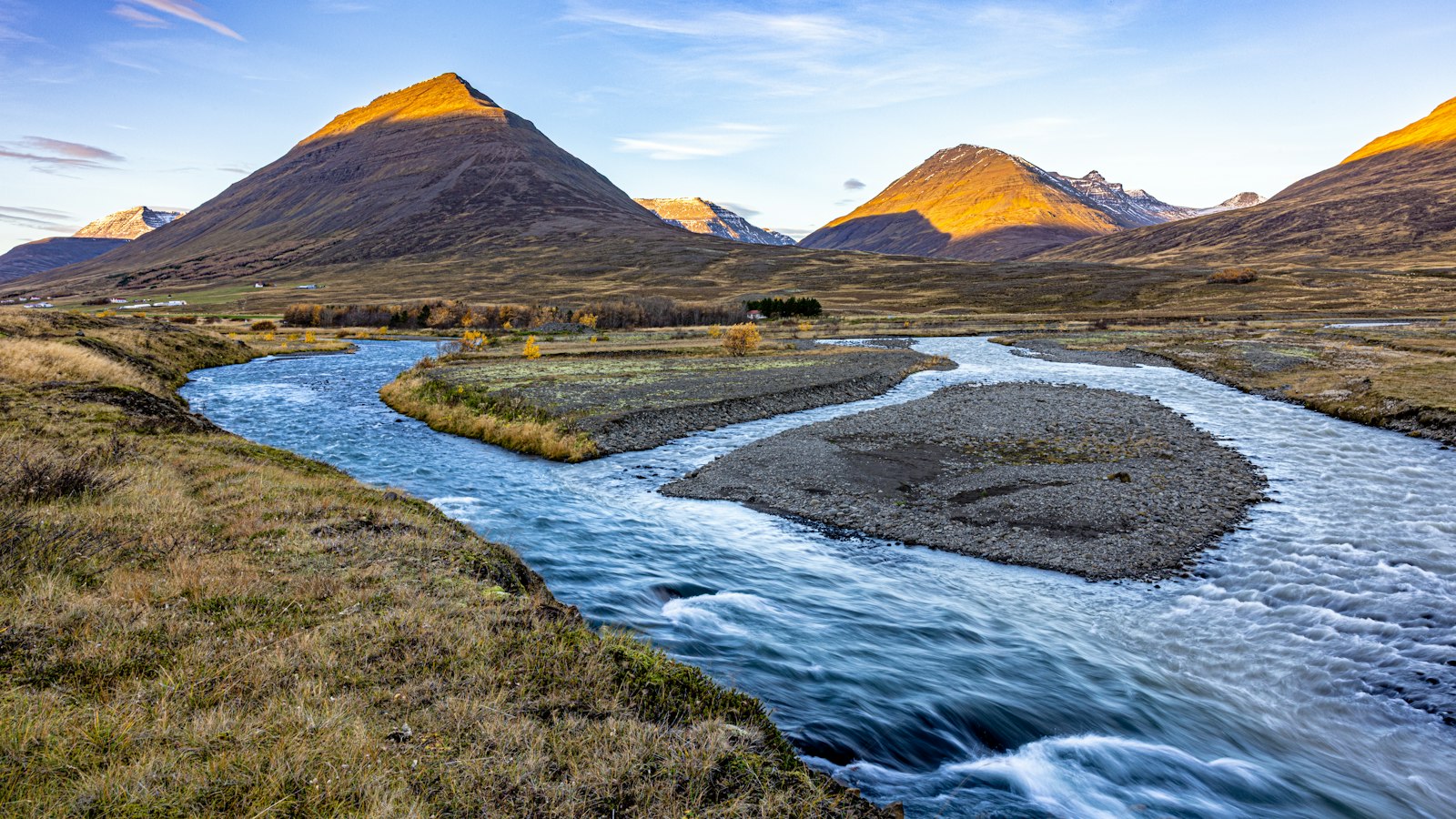
Nestled in the Blönduhlíð district in northern Iceland, Djúpadalsá, also known locally as Dalsá, is a spring-fed river with deep roots in both the natural and human history of Skagafjörður. The river begins its journey high in the Grænuvatn lakes, at an elevation of roughly 900 metres, deep within Djúpárdalur valley. This valley pushes into the eastern reaches of the Tröllaskagi mountain range, a region marked by rugged terrain and dramatic geography.
South of Glóðafeykir mountain, the landscape features another valley, Akradalur, which belongs to the area known as Stóru-Akrar. As Djúpadalsá flows through Djúpárdalur, its course is joined from the northeast by the Tungufjallsá river at the location where the valley forks beneath Tungufjall mountain.
When the river approaches the hamlet of Djúpidalur, it tumbles into a steep gorge before flowing out onto expansive sandbars. These sandbars, triangular in shape, are characterised by stony upper reaches and lush vegetation in their lower parts. Historically, the river would repeatedly shift its main course across these sandbars, splitting into various channels and shaping the valley floor in unpredictable ways. In later years, the southernmost sandbars, located between the farms Syðsta-Grund and Minni-Akrar, have been stabilised by construction of a levee, guiding the river more predictably through this fertile landscape.
A sudden flood reshapes the valley
The river’s behaviour is not always calm. In July 1954, an exceptional spell of heavy rain hit northern Iceland, causing large landslides in several valleys. In the Djúpadalsá area, the slides temporarily dammed the river near the mouth of the valley. Once the pent-up water broke through, a sudden flood swept across the sandbars, damaging farmland vegetation and fences. This event was only one example of how quickly Icelandic rivers can change their surroundings.
A site of medieval conflict
The shifting sands of Djúpadalsá also have a notable place in Icelandic history. In 1246, the sandbars were the scene of the Battle of Haugsnes, one of the bloodiest civil war clashes of the era. At the time, the river flowed further toward the outer edges of the valley, so the site of the battle now lies to the south of its present course.
Today, Djúpadalsá and its sandbars bear the marks of both nature’s rhythms and centuries of human activity. This small river, with its origins high in the Tröllaskagi, weaves together geological drama and cultural memory in a landscape unique to northern Iceland.
Sources
- Wikipedia
- Wikipedia (Icelandic) in Icelandic


