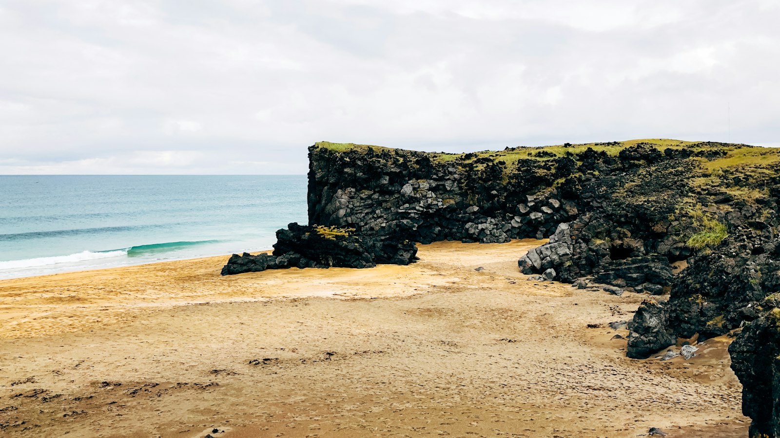
On the windswept northern coast of the Snæfellsnes peninsula lies Ólafsvík, a settlement with deep ties to fishing and centuries-old international commerce. Today, this small town continues to serve as a regional centre amid dramatic Icelandic landscapes.
A royal charter and the rhythms of trade
The economic fortunes of Ólafsvík were shaped as early as the 17th century. In 1687, the Danish King awarded the village a formal licence for commercial trading, making it the first Icelandic community to hold such status. This royal authorisation reflected its prominent position along the routes between Iceland and mainland Europe. For generations, ships made the journey between Ólafsvík and Denmark, carrying goods between distant shores at a time when maritime trade flowed through only a handful of Icelandic harbours.
At Europe’s northwestern edge
Ólafsvík occupies a unique geographic position at 23 degrees 42 minutes West, making it the westernmost settlement of its size across Europe. It is situated on route 54, bordered by the communities of Grundarfjörður to the east and Hellissandur to the west. Just 10 km from Snæfellsjökull glacier, the town looks out over the bay of Breiðafjörður, a factor that historically shaped both livelihood and landscape.
With a population of around 1,010 in 2011 and 960 in 2024, Ólafsvík serves not only as a home for its residents but also as the administrative centre for the wider municipality of Snæfellsbær. This area includes several smaller villages, Arnarstapi, Hellnar, Rif, and Hellissandur, with Ólafsvík acting as a hub for services and governance.
Fishing remains the foundation of Ólafsvík’s economy. The rhythm of daily life is set by the sea, with local commerce and trade supporting both fishers and nearby farmers. In more recent years, the town’s proximity to natural attractions, alongside birdlife, hiking terrain, long sandy beaches and the looming nearby glacier, means tourism has joined fishing as an important part of the local economy.
History is never far from daily life here. The modern municipality of Snæfellsbær was formed in 1994, bringing together Ólafsvík and neighbouring districts under a single administration. These changes reflect an ongoing process of adaptation, as small coastal settlements adjust to new economic realities while holding on to a distinctive Icelandic heritage.
Dominating the skyline near Hellissandur is the Gufuskálar radio mast, towering to 412 metres and standing as the tallest structure in Western Europe. Its presence is a reminder that even in places defined by tradition, connections to the wider world, whether through trade, migration or technology, remain central.
Sources
- Wikipedia
- Wikipedia (Icelandic) in Icelandic


