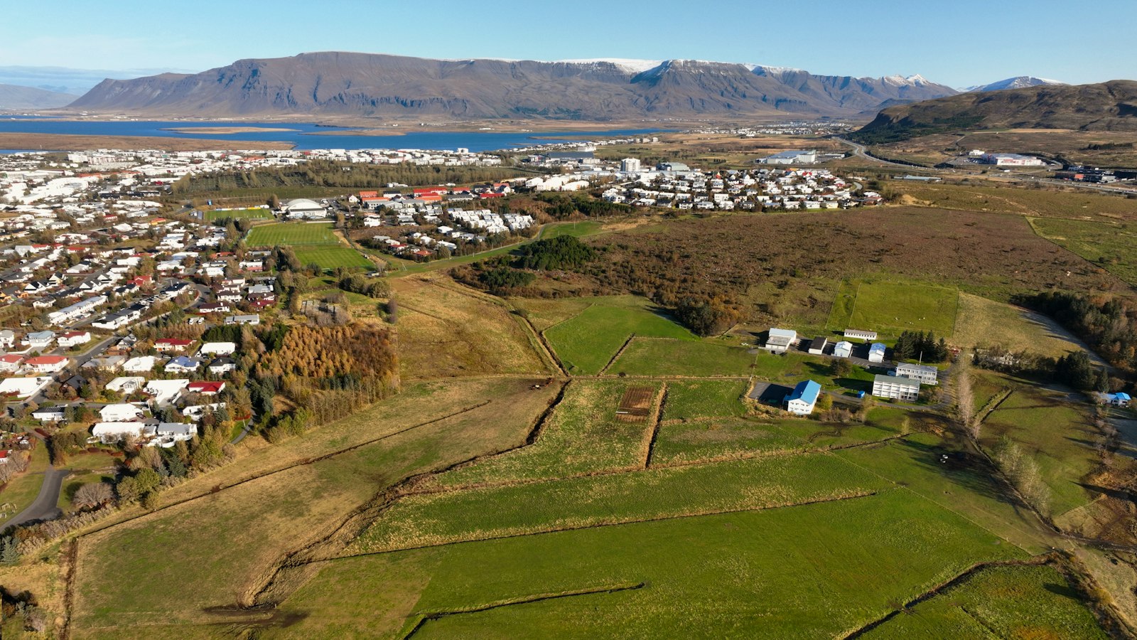
Kópavogur, whose name means ‘seal pup inlet’, is more than just a neighbour of Reykjavík. Situated immediately to the south of the capital, it is the second-largest municipality in Iceland by population, with over 41,000 residents as of March 2025. Its growth from scattered farm sites to a bustling town mirrors much of Iceland’s modern history.
A changing landscape and early settlements
The first signs of habitation in Kópavogur date back as early as the ninth century, with remains of an ancient earth-house at the bottom of the inlet north of the Kópavogslækur river mouth. Other early farms included Digranes, Hvammur, and Vatnsendi, the latter first appearing in records from 1234. By the 16th century, the area’s name was well established, and medieval ruins at Þingsnes near Elliðavatn lake are believed to date to the 10th century.
Geographically, Kópavogur’s wide area includes clay banks with diverse birdlife and traces of ancient sea levels and glaciers. To the east, significant stretches of land fall within the Bláfjöll Nature Reserve, encompassing both the Þríhnúkagígur volcano and the Bláfjöll ski area.
From historical milestone to urban growth
Kópavogur is best known for the 1662 meeting where Bishop Brynjólfur Sveinsson and lawyer Árni Oddsson signed a document, officially recognising the absolute monarchy of Denmark–Norway over Iceland. This event, called the Kópavogur meeting (Kópavogsfundurinn), later became a reference point in Iceland’s independence movement as an example of foreign dominance.
Life in Kópavogur remained centred on farming for centuries. In 1870, fewer than fifty people lived there. Because the land was mainly leased property, families often moved, and few established deep roots. Not until the 1930s did the settlement expand, prompted by the housing pressures of the Great Depression. The government subdivided land for new homes, and roads like Nýbýlavegur (named for these ‘new farms’), Kársnesbraut, and Digranesvegur were laid out. By 1945, the population had grown to over 500.
In 1948, Kópavogur became an independent township, separating from Seltjarnarnes. It developed rapidly in the latter half of the 20th century, with commercial activity and services emerging alongside residential areas. The region now boasts the tallest building in Iceland, Smáratorg Tower, and Smáralind, the country’s largest shopping centre.
Culture, sport, and urban legends
Kópavogur features prominently in Icelandic folklore, particularly as a setting for stories about the huldufólk, or ‘hidden people’. In the film ‘Sumarlandið’, the Grásteinn stone is depicted as the dwelling of elves. The town’s official seal even includes a seal pup beneath the landmark Kópavogskirkja church.
Sport is ingrained in local life, with clubs such as Breiðablik and HK achieving national titles in football and handball. The town is also known for Thor’s Power Gym, owned by renowned strongman Hafþór Júlíus Björnsson, where the world deadlift record was set in 2020. The community has been home to several cultural and sporting figures, including singer Emilíana Torrini and footballer Eiður Guðjohnsen.
Today, Kópavogur is connected to Reykjavík by regional buses, and the upcoming Borgarlína transit network is set to further integrate the Capital Region’s towns.
Sources
- Wikipedia
- Wikipedia (Icelandic) in Icelandic


