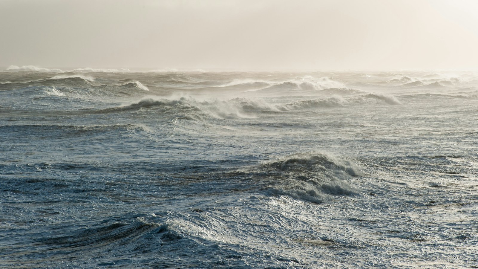
A deep low-pressure system that affected Iceland in recent days is now weakening, according to a forecast reported by mbl.is on Tuesday. The strongest winds from this system are expected along the southwest coast, but forecasters say conditions should be typical for the autumn.
Haraldur Eiríksson, speaking to Vísir, described the current weather as “just ordinary autumn weather”. The forecast is likely to change day-to-day, but forecasters believe the country should avoid the worst effects of this low-pressure system.
Late Wednesday evening, winds are predicted to strengthen as weather fronts move in. Óli Þór Árnason told mbl.is that “late Wednesday evening the wind will pick up.” There is a possibility that the wind could reach storm strength under Eyjafjöll and on Kjalarnes, though this is not certain, according to forecasters.
Background
The Icelandic Met Office is Iceland’s national weather service and a government agency under the Ministry of Environment and Natural Resources. Founded in 1920, it is responsible for weather forecasting, volcano monitoring, and civil protection, playing a key role in keeping the public informed during changing weather events.
Sources
- mbl.is (first reported) in Icelandic
- Vísir in Icelandic